THE ILLUSTRATED MAP, A TOOL WITH MANY ADVANTAGES:
GREAT IMPACT
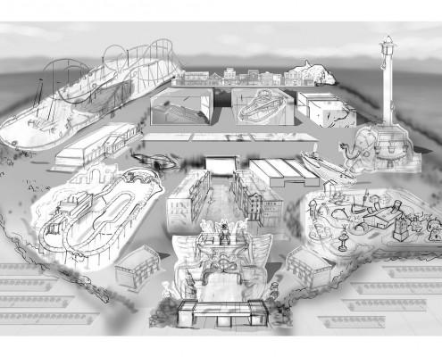
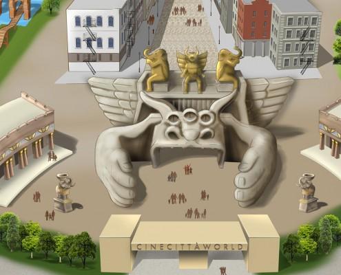
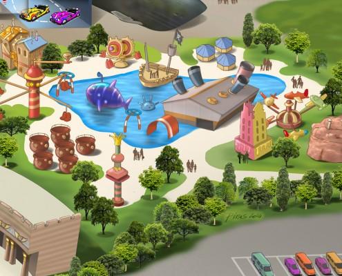
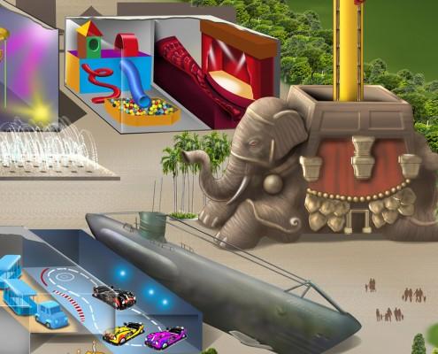
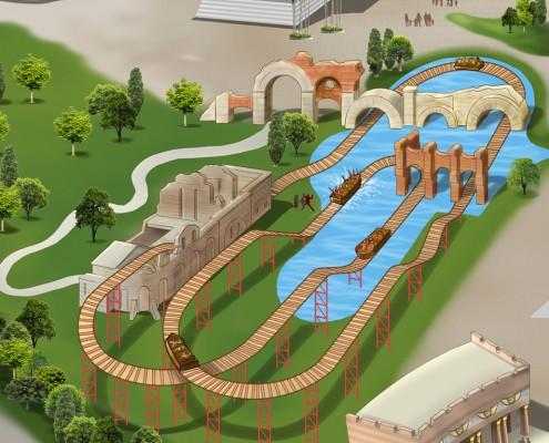
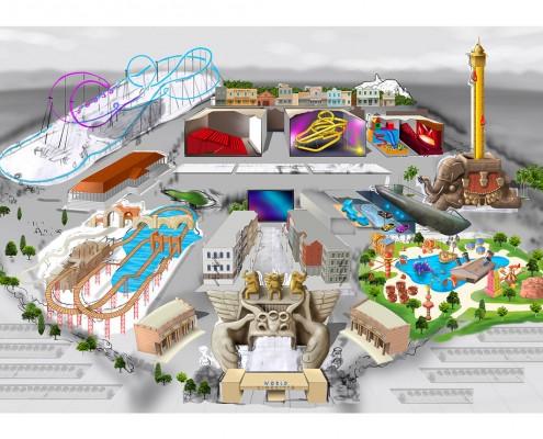
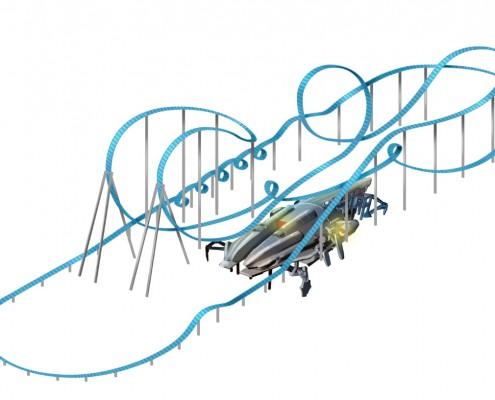
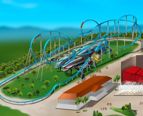
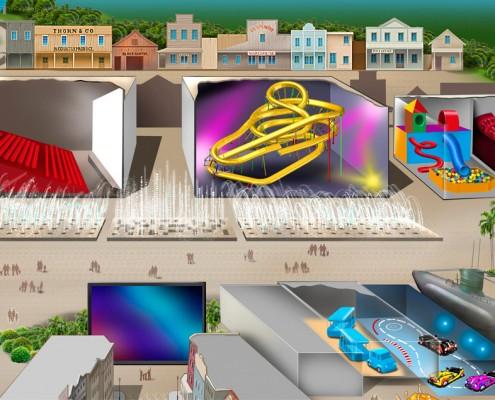
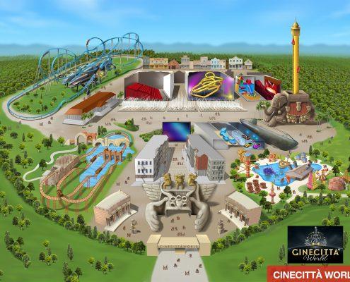
It shows all the services and attractions of the theme park, adventure park or facility in an attractive and detailed way.
BETTER THAN A PHOTOGRAPH
Because an illustration allows you to simultaneously show internal and external structures, paths hidden by trees or buildings and highlight with colors and perspective solutions the details you want to enhance.
IT GUIDES AND ORIENTS YOU
Ideal for guiding and orienting visitors and guests of large-scale facilities, such as adventure parks, theme parks, amusement parks, golf clubs, sports facilities, hotels and resorts.
LARGE SCALE PRINTS AND REPRODUCTION
The map illustration will be created in high resolution (300 dpi) and you will have the opportunity to reproduce it, in excellent definition and quality even on giant surfaces.
DO YOU NEED TO UPDATE IT?
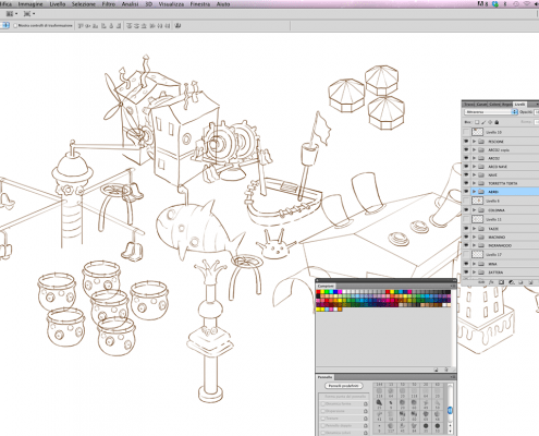
No problem! The illustration will be carried out digitally and on levels to allow, even when completed, to practice interventions on individual areas of the map without implying a total remaking.
Processing steps
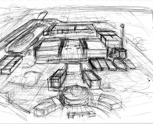
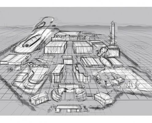
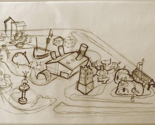
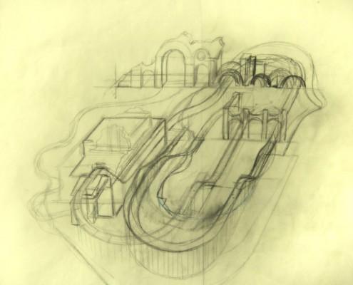
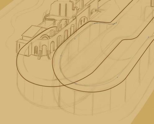
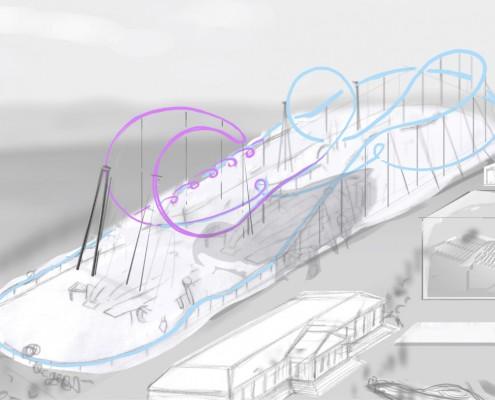
- Study and identification of the best perspective view and the most appropriate technique to promote communication objectives of both outdoor and indoor attractions;
- analysis and selection of photographic and graphic material (maps, plans, etc.);
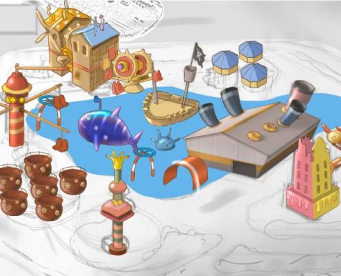
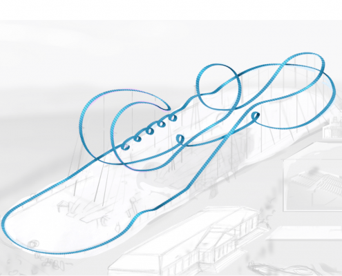
- realization of the first draft with layout of the various attractions;
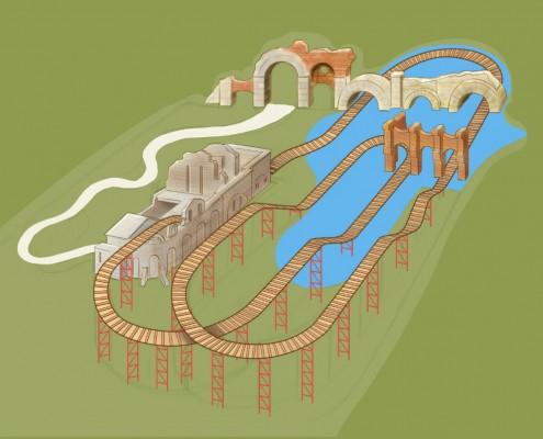
- realization of the executive project.
Production technique
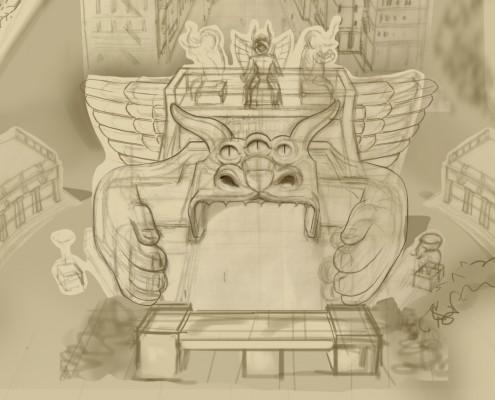
The making of the illustration will be carried out digitally and on levels to allow, even when the illustration is completed, to practice interventions without this implying a total remaking (think about the possibility of adding new attractions, modifying or eliminating existing ones, creating close ups of the single attractions.
Technical features
Realization in high resolution (300 dpi).
High resolution image (tiff, jpg, pdf), magnification up to giant sizes (for instance 6×3 feet) with high image quality.
Production times
Product supply
The final illustration will be supplied in high definition 300 dpi:
Tiff; Jpg; Eps or other formats on request.
Copyright
The client, with the payment of the service, will acquire unlimited and unlimited and free commercial usage rights.
We work remotely optimizing time and resources
The service for creating illustrated maps and plans was born together with the need to be able to work remotely from the customer without this compromising compliance with delivery times and the quality of the work.
To create the requested illustrations we generally need:
· Photographs of individual attractions: 3/4 photos per attraction, taken from various points of view and from different distances, in order to offer both an overview and a reproduction of details;
· Where possible, aerial photos or photos taken from considerable heights;
· Plan of the area and park, if existing;
· Park plan, if existing;
If then, in the event that the material described above does not exist, we are structured to take photographic shots and any aerial shots/photos taken with a drone.

